Houston areas / Cinco Ranch / Katy
Cinco Ranch / Katy
Watch Barker Reservoir influence, local detention.
Historical pattern from local threads. Not today's level.
City of Katy vs Harris vs Fort Bend: know which curb you are on.
Neighborhood photos
-
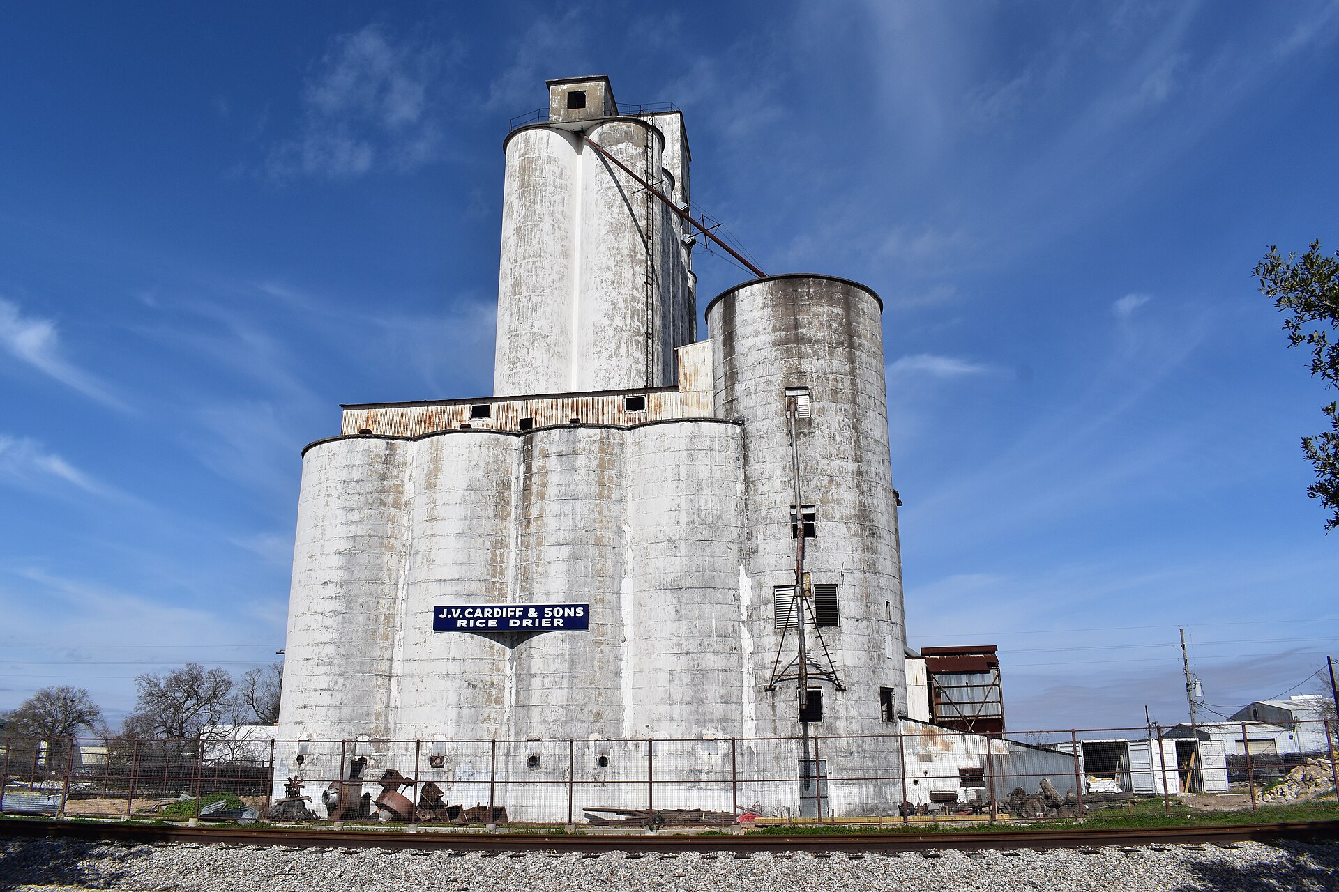
Chday / Wikimedia Commons (CC0) Source -
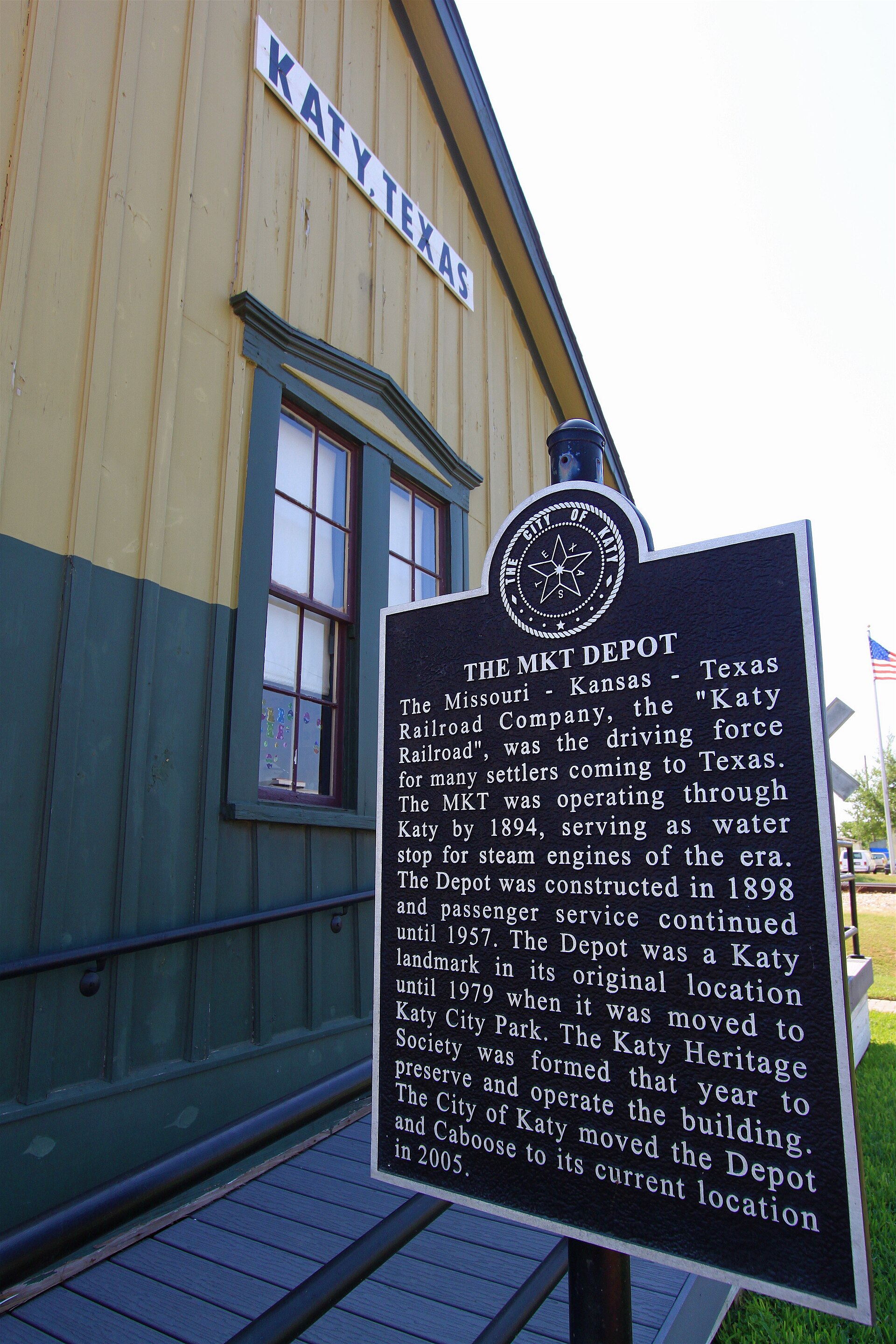
Roy Luck / Wikimedia Commons (CC BY 2.0) Source -
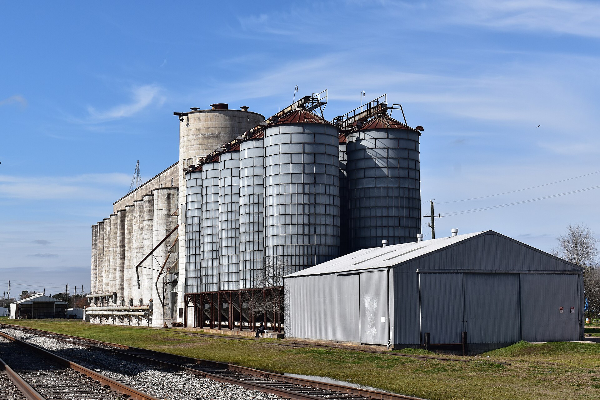
Chday / Wikimedia Commons (CC0) Source


- Harvey flooding varied sharply by subdivision; use parcel history, not citywide labels.
Gauges
Do this here
- If you live upstream of Addicks/Barker, monitor USACE reservoir pool levels, not only bayou stage. r/houston
- Katy / Cinco Ranch / Barker edge: research whether the parcel is upstream pool, downstream release path, or outside. r/houston
- Sugar Land / Fort Bend: check county gauges and drainage history separately from Harris HCFWS. r/houston
Check live
- Ready Harris
- HCFWS gauges
- CenterPoint
- Houston 311
- Red Cross finder
- Houston OEM
- 211 Texas
- Addicks / Barker
- Shelter dashboard
Map Centered on this area. FEMA flood layer and USGS gauges. Not a survey, and not an evacuation order.