Houston areas / Memorial / Buffalo Bayou / downtown
Memorial / Buffalo Bayou / downtown
Watch Buffalo Bayou, Addicks/Barker releases.
Historical pattern from local threads. Not today's level.
Neighborhood photos
-
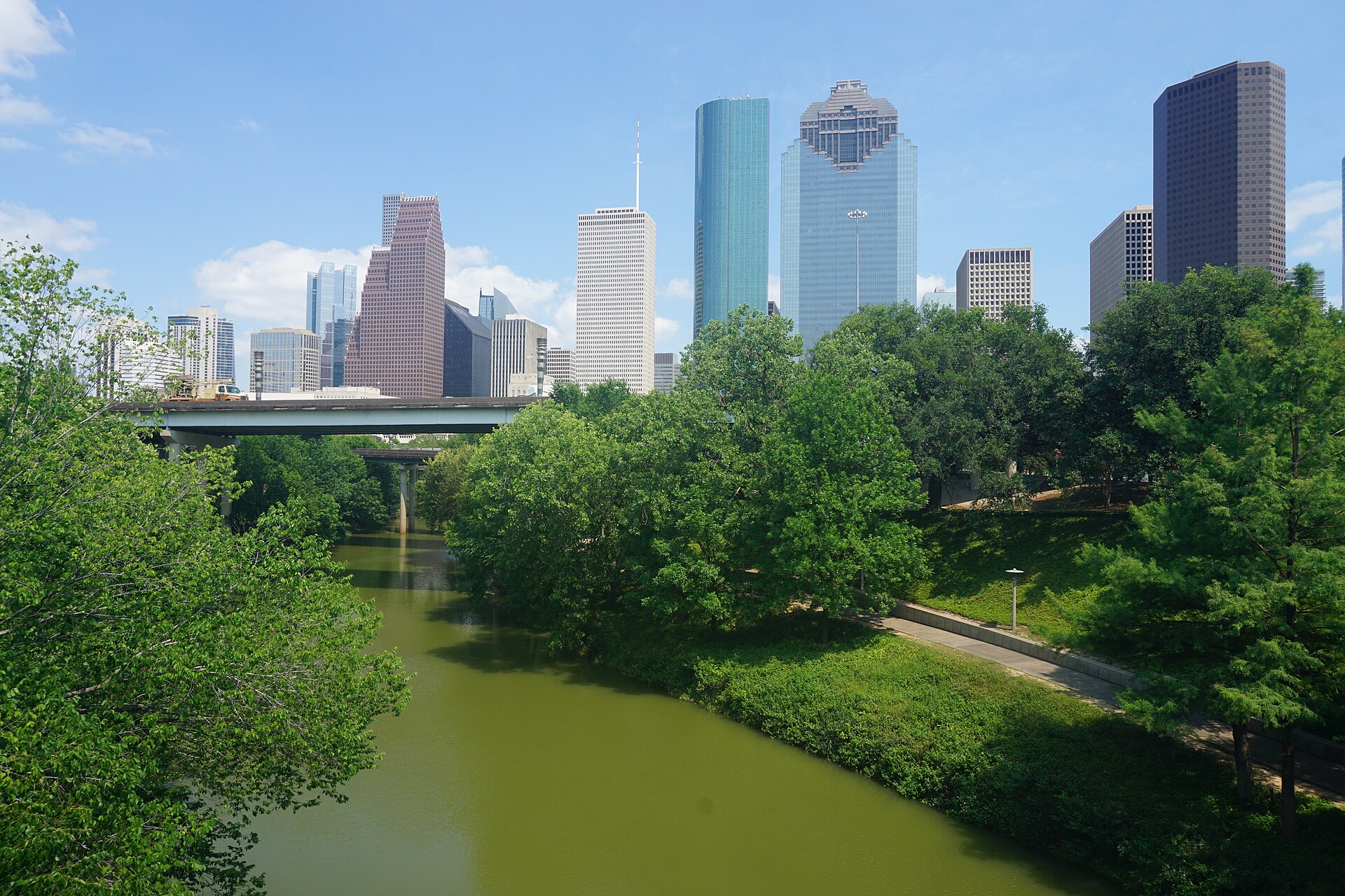
Michael Barera / Wikimedia Commons (CC BY-SA 4.0) Source -
Tony Webster from Minneapolis, Minnesota, United States / Wikimedia Commons (CC BY 2.0) Source -
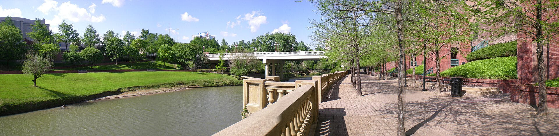
Brian Reading / Wikimedia Commons (CC BY-SA 3.0) Source


- Downstream of reservoirs; controlled releases can elevate bayou after local rain eases.
- Block elevation differs, one-time Harvey floods vs repeat bayou streets.
Gauges
Do this here
- If you live downstream along Buffalo Bayou / Memorial, watch for controlled releases from Addicks/Barker. r/houston
- Use the USACE Addicks/Barker dashboard plus Ready Harris alerts, dashboard alone is not an evacuation order. USACE
- Monitor Buffalo Bayou @ Shepherd (#2240) if you are near Memorial / inside-the-loop bayou corridors. HCFWS
- Buying in Meyerland: check flood history beyond only flooded in Harvey, repeat floods are a known local pattern. r/houston
- Never drive into flooded roads or underpasses, depth hides and water can sweep the car. r/houston
Check live
- Ready Harris
- HCFWS gauges
- CenterPoint
- Houston 311
- Red Cross finder
- Houston OEM
- 211 Texas
- Addicks / Barker
- Shelter dashboard
Map Centered on this area. FEMA flood layer and USGS gauges. Not a survey, and not an evacuation order.