Houston areas / Meyerland / Braeswood / Bellaire / West U
Meyerland / Braeswood / Bellaire / West U
Watch Brays Bayou.
Historical pattern from local threads. Not today's level.
Neighborhood photos
-
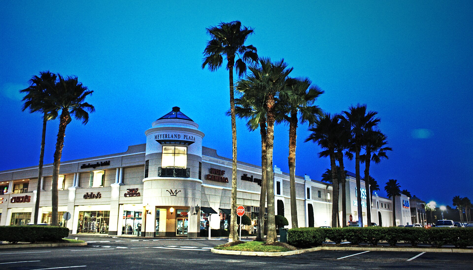
Henry Han / Wikimedia Commons (CC BY-SA 3.0) Source -
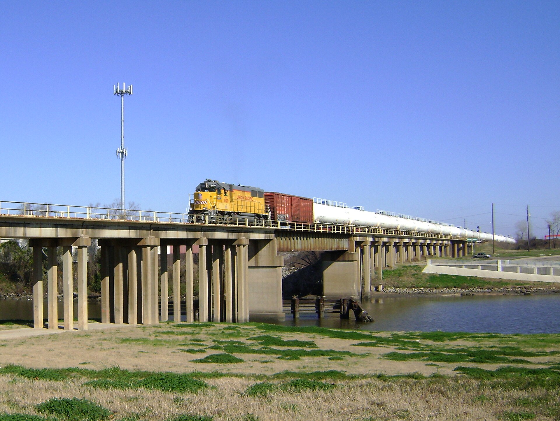
Patrick Feller from Humble, Texas, USA / Wikimedia Commons (CC BY 2.0) Source -
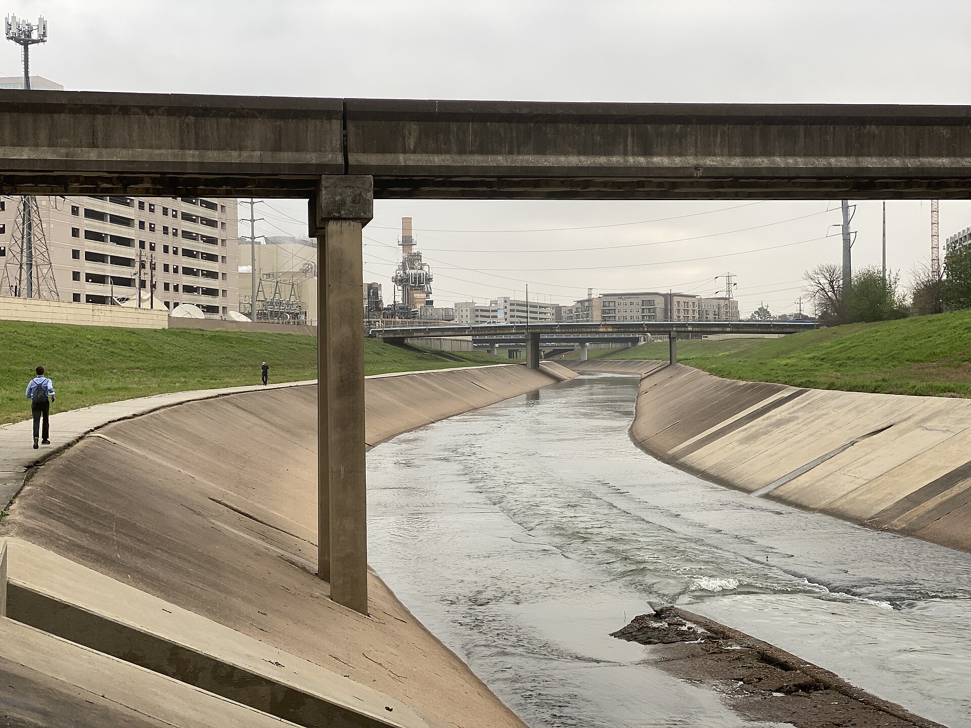
Mikael Häggström, M.D. Author info - Reusing images - Conflicts of interest: None Mikael Häggström, M.D. / Wikimedia Commons (CC0) Source


- Residents describe Brays Bayou house flooding in major events and street flooding in lesser rains.
- Repeat-flood history is a frequent buying caution versus one-time Harvey floods elsewhere.
- Many homes raised post-Harvey; verify elevation vs BFE.
Gauges
Do this here
- Watch Brays Bayou gauges before and during heavy rain if you are in Meyerland / Braeswood / Bellaire corridors. r/houston
- Bookmark HCFWS Brays gauges (Stella Link #430, Rice Ave #440) for live levels, not Facebook screenshots. HCFWS
- Buying in Meyerland: check flood history beyond only flooded in Harvey, repeat floods are a known local pattern. r/houston
- If a Meyerland/Braes home was raised, verify finished-floor elevation against current BFE, not just it looks tall. r/houston
- Westbury / Waterhole Bayou pockets: check south-of-neighborhood drainage, not just frontage roads. r/houston
Check live
- Ready Harris
- HCFWS gauges
- CenterPoint
- Houston 311
- Red Cross finder
- Houston OEM
- 211 Texas
- Addicks / Barker
- Shelter dashboard
Map Centered on this area. FEMA flood layer and USGS gauges. Not a survey, and not an evacuation order.